2001-2004: British racing green
The Travelmaster series was discontinued in 2001 and split into two new series: the Great Britain Routeplanner map at 1:625 000, and the ‘Road Map’ series at 1:250 000 scale. The ‘Road Map’ series was born in April 2001, with the simultaneous publication of 8 sheets covering Great Britain. These were effectively re-issues of Travelmaster sheets 2-9, renumbered and rebranded as Road Map sheets 1-8.
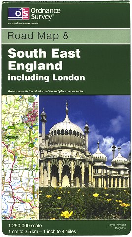 Figure 1 Road Map 8 Edition A (Apr 2001) |
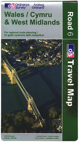 Figure 2 Travel Map - Road 6 Edition B (Feb 2003) |
Designed with the motorist in mind, each sheet was issued in a variant of the 1996 ‘house style’ cover design, with a ‘British racing green’ background colour. As first published, these maps retailed for £3.95, although the price rose in November 2001 to £3.99. (Figure 1)
New editions of each sheet were published in February 2003, rebranded as part of the ‘Travel Map’ range. The ‘Travel Map - Road’ series now bore covers in the new style (Figure 2), a variant of the design first issued on the Landranger series the year before.
In early 2004, the retail price of ‘Travel Map - Road’ maps rose to £4.99.
2005-2010: The road to decline
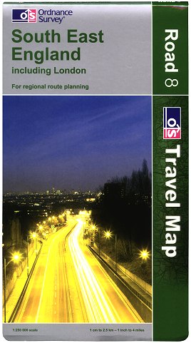 Figure 3 Travel Map - Road 8 Edition C (Mar 2005) |
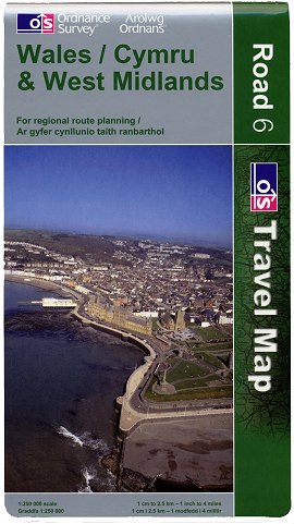 Figure 4 Travel Map - Road 6 Edition D (Mar 2007) |
 Figure 5 Travel Map - Road 8 Edition E (Mar 2009) |
A set of new editions of all 8 sheets, published in March 2005, had more ‘arty’ photographs on the covers. (Figure 3)
Another set of new editions of all 8 sheets were published in March 2007, featuring aerial photographs of roads, landmarks and coastal features on the covers. (Figure 4)
The final ‘Travel Map - Road’ editions were published in March 2009, featuring aerial photographs of significant historical buildings on the covers. (Figure 5)
In Autumn 2009 Ordnance Survey took the decision that the majority of the ‘Travel Map’ range could no longer compete with other companies’ similar products and satellite navigation devices. Thus to improve cost-efficiency, the ‘Travel Map - Road’ series was discontinued at the end of January 2010, along with ‘Travel Map - Route’ and fifteen of the 23 sheets in the ‘Travel Map - Tour’ series.
2016: Reincarnation
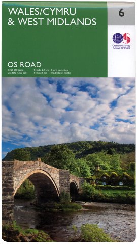 Figure 6 OS Road Map 6 2016 edition (Sep 2016) |
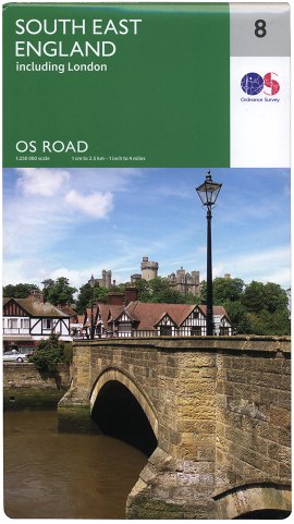 Figure 7 OS Road Map 8 2016 edition (Sep 2016) |
In a surprise move, Ordnance Survey put out a press release on 14 September 2016 announcing the relaunch of the 1:250 000 series. Rebranded as ‘OS Road’ and priced at £5.99, a new set of all 8 sheets had apparently been published at the beginning of that week. (Figures 6, 7)
Unlike the Explorer, Landranger and Tour series, the covers feature photographs which have been sourced from picture agencies, rather than those submitted by the general public as part of the OS Photofit competition.
Page last updated: 18 September 2016