2002-2010: From hero to zero
Having launched the ‘Travel Map’ range in April 2002, with the rebranded Tour maps, Ordnance Survey introduced a new member to the family in July 2002. ‘Travel Map - Route’ was a double-sided map at 1:625 000 scale, covering the whole of Great Britain. It replaced the Routeplanner map (2000-2001).
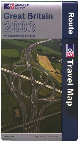 Figure 1 Travel Map - Route 2003 Edition (pub. Jul 2002) |
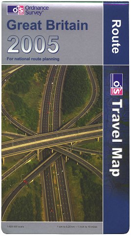 Figure 2 Travel Map - Route 2005 Edition (pub. Oct 2004) |
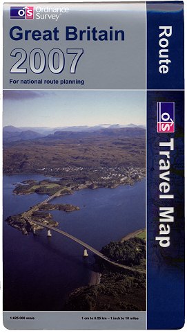 Figure 3 Travel Map - Route 2007 Edition (pub. Oct 2006) |
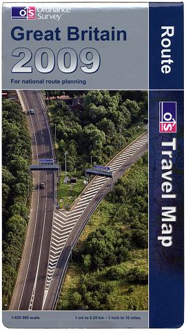 Figure 4 Travel Map - Route 2009 Edition (pub. Oct 2008) |
The maps were issued in a variant of the 2002 ‘house style’ design, using dark blue as the distinguishing colour. (Figure 1). In the year to April 2003, ‘Travel Map - Route’ was the best-selling product of Ordnance Survey’s entire map range.
Revised editions were published annually in the autumn, each new edition having a picture of either a motorway junction or other significant road feature on the cover. (Figures 2, 3)
As a mark of how quickly the travel map market changed, a rapid decline in sales caused Ordnance Survey to take the decision in Autumn 2009 that the majority of the ‘Travel Map’ range could no longer compete with other companies’ similar products and satellite navigation devices. Thus in January 2010 the drive for cost efficiency (which also saw the demise of the 1:250 000 ‘Travel Map - Road’ series and two-thirds of the sheets in the ‘Travel Map - Tour’ series) led to the discontinuation of ‘Travel Map - Route’, the last edition having been published in October 2008. (Figure 4)
This was not to be the last we would see of the 'Route Map', however. Following the successful relaunch of the 1:250 000 ‘OS Road’ maps in September 2016 after a seven-year hiatus, a new map - 'OS Route' was launched in March 2017.
Page last updated: 28 March 2017